Localized Geographical Intelligence
We provide comprehensive disaster management solutions powered by AI systems that work entirely offline, localized to exact geographical data. For example, if we are deploying our AI for Thiruvananthapuram, Kerala, we use a dedicated, hyper-local database specifically trained on Thiruvananthapuram's geographical, infrastructural, and demographic information. This ensures that in the event of an emergency, the AI has total situational awareness without needing to fetch data from the cloud.
The Reality of Infrastructure Collapse
On July 30, 2024, severe landslides struck the Chooralmala and Mundakkai regions of Wayanad, Kerala. The destruction was catastrophic, taking out roads, bridges, and power grids. More crucially, the disaster caused severe telecommunication failures as fiber optic lines and relay towers collapsed.
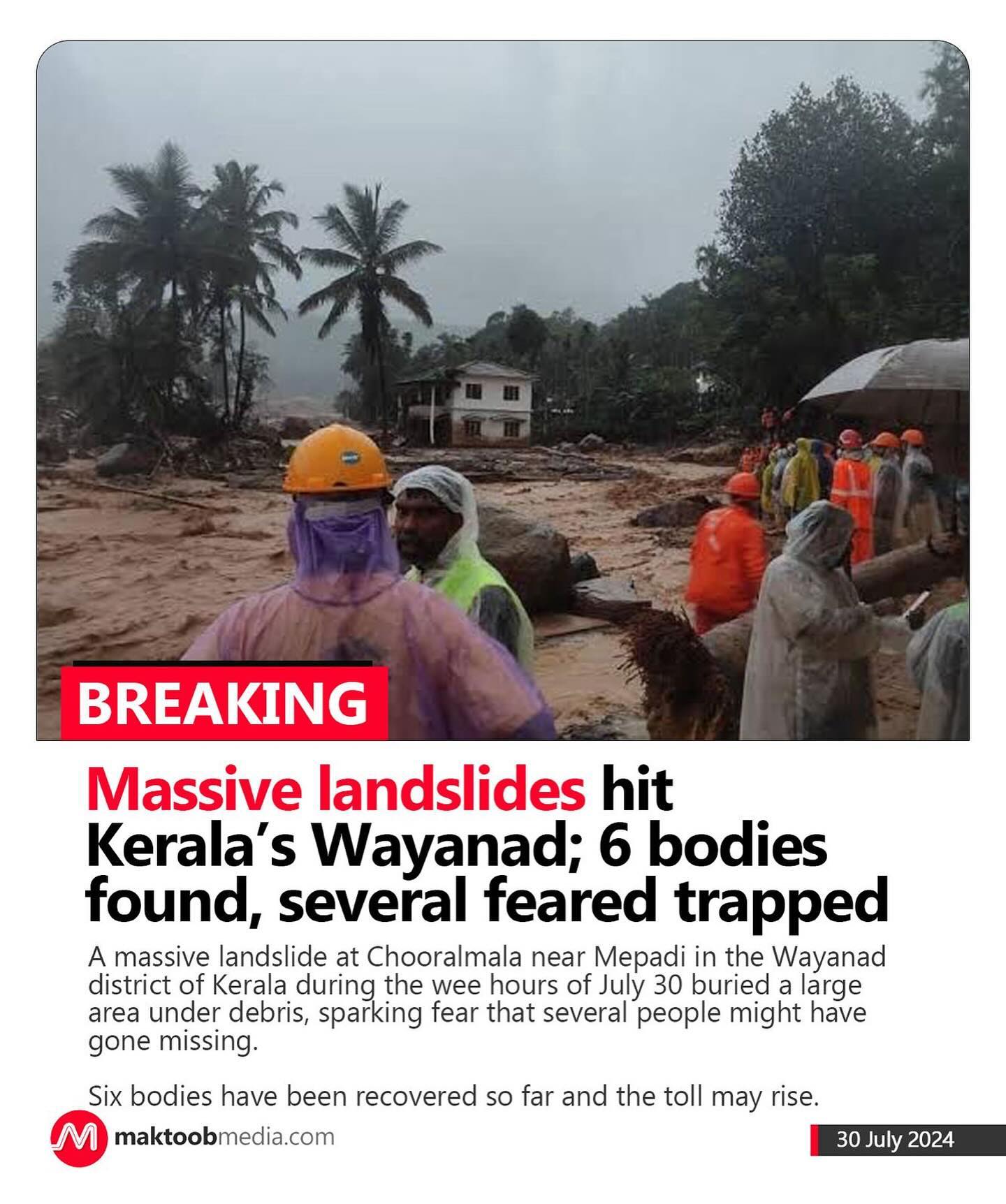
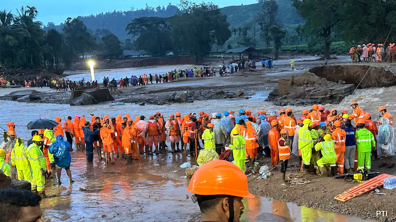
This is the critical vulnerability in modern disaster response: when the cell towers fall and the internet goes down, traditional cloud-dependent AI systems become completely useless right when they are needed the most.
The AegisVectro Offline Advantage
This is exactly why our offline AI solutions are designed for deployment in high-risk zones. By housing the intelligence, geographical data, and decision-making logic locally on-device, our systems are entirely immune to communication blackouts.
When the internet suddenly fails or cellular range is entirely unavailable, the AegisVectro Global Resilience AI doesn't just stay online—it actively plans and coordinates rescue operations based directly on its embedded, localized geographical data. Rescue teams, first responders, and local authorities can continue to rely on advanced AI routing and risk assessment without dropping a single packet of data. We don't just plan for the disaster; we plan for the silence that follows.